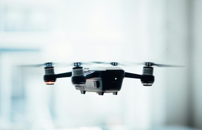
Drone surveying has soared in popularity as a surveying method, particularly in recent years. Its appeal lies in its capacity to swiftly and effectively gather high-resolution imagery and data. Drones are reshaping the landscape of surveying in Ireland, offering unprecedented efficiency and precision. In this article, we delve into the realm of drone surveying in Ireland, examining its advantages, practical uses, and the regulatory framework governing its operation.
Furthermore, drone technology has opened up a plethora of applications across various industries, from construction and agriculture to environmental monitoring and infrastructure assessment. The versatility of drones allows them to access remote or hazardous areas with ease, providing valuable insights that were previously unattainable or prohibitively expensive.
The Benefits of Drone Surveying in Ireland
One of the main benefits of using drones for surveying in Ireland is speed. Drones can cover large areas in a fraction of the time it would take traditional surveying methods. This means that projects can be completed faster and more efficiently, saving time and money for both surveyors and clients.
Another benefit of drone surveying is accuracy. Drones can capture high-resolution imagery and data that is incredibly accurate, making it easier to create detailed maps and models. This level of accuracy is especially useful in industries such as construction, where precise measurements and data are crucial.
Finally, drone surveying is also safer than traditional surveying methods. Surveyors no longer have to climb tall buildings or structures to capture data, which can be dangerous and time-consuming. With drones, data can be captured from a safe distance, reducing the risk of injury and accidents.
Applications of Drone Surveying in Ireland
Drone surveying has a wide range of applications in Ireland, from construction and engineering to agriculture and environmental monitoring. Here are just a few examples:
Construction and Engineering
Drones can be used to create 3D models of construction sites and buildings, allowing architects and engineers to plan and design more efficiently. They can also be used to monitor construction progress and identify any potential issues before they become major problems.
Agriculture
Drone surveying can be used in agriculture to monitor crop health, identify areas of stress or disease, and create detailed maps of fields. This information can then be used to optimize crop yields and reduce waste.
Environmental Monitoring
Drones can be used to monitor the environment in Ireland, from tracking wildlife populations to identifying areas of pollution or erosion. This information can then be used to develop conservation and management strategies.
Regulations for Drone Surveying in Ireland
While drone surveying has many benefits, it’s important to note that there are regulations in place in Ireland to ensure the safe and responsible use of drones. Here are a few key regulations to keep in mind:
- All drones must be registered with the Irish Aviation Authority (IAA).
- Drones must be flown within line of sight of the operator.
- Drones must not be flown above 400 feet or within 5 kilometers of an airport.
- Drones must not be flown in restricted airspace, such as military installations or prisons.
Check out our article on the best surveying services in Ireland here.
Conclusion
Drone surveying is revolutionizing the surveying industry in Ireland, offering faster, more accurate, and safer methods of data collection. With a wide range of applications and benefits, it’s no wonder that more and more businesses and organizations are turning to drone surveying as a valuable tool. However, it’s important to remember that there are regulations in place to ensure the safe and responsible use of drones.
FAQs
1. Do I need a license to operate a drone for surveying in Ireland?
Yes, you need a license from the Irish Aviation Authority (IAA) to operate a drone for surveying in Ireland.
2. How much does drone surveying cost in Ireland?
The cost of drone surveying in Ireland varies depending on the size and scope of the project. It’s best to contact a drone surveying company directly for a quote.
3. What kind of data can drones capture for surveying purposes?
Drones can capture a wide range of data for surveying purposes, including high-resolution imagery, 3D models, and thermal data.
4. Are there any restrictions on where I can fly my drone for surveying in Ireland?
Yes, there are restrictions on where you can fly your drone for surveying in Ireland. Drones must not be flown above 400 feet or within 5 kilometers of an airport, and they must not be flown in restricted airspace.
5. Is drone surveying safer than traditional surveying methods?
Yes, drone surveying is generally safer than traditional surveying methods, as surveyors no longer have to climb tall buildings or structures to capture data.


